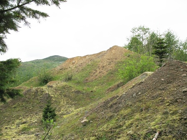
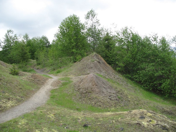
The hummocks
Each hummock represents a relatively intact block of the old mountain, sometimes preserving the original stratigraphy. Most blocks in the Valley of the North Fork of the Toutle River can be traced back to slide mass II & III (see map below)
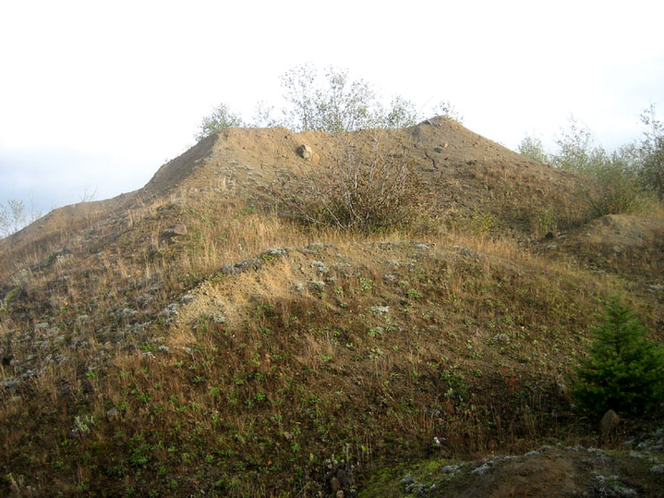
Photo by James Maynard © 2009 - free use with attribution [Full-size, jpeg format]
Map of the debris avalanche from Glicken 1996
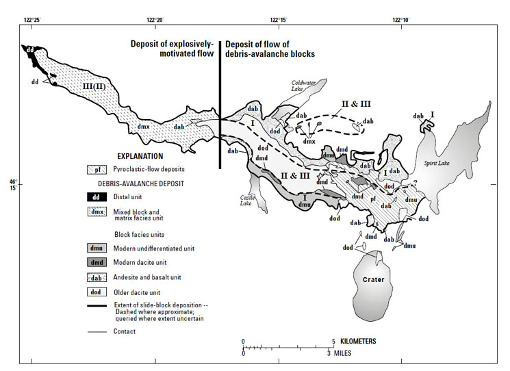
Source: Glicken, H., 1996, Rockslide-debris avalanche of May 18, 1980, Mount St Helens volcano, Washington: U.S. Geological Survey Open-file Report 96-677, 90 pp. [download pdf]
More hummocks pictures